Kinnaur district — Apple Orchards on Cliffsides — Last Villages of India

Kinnaur District — Apple Orchards on Cliffsides — Last Villages of India

Himachal Pradesh · May–Jun, Sep–Oct · 1000–6816 m altitude

Quick Facts Places to Visit Food Plan Trip

About Kinnaur

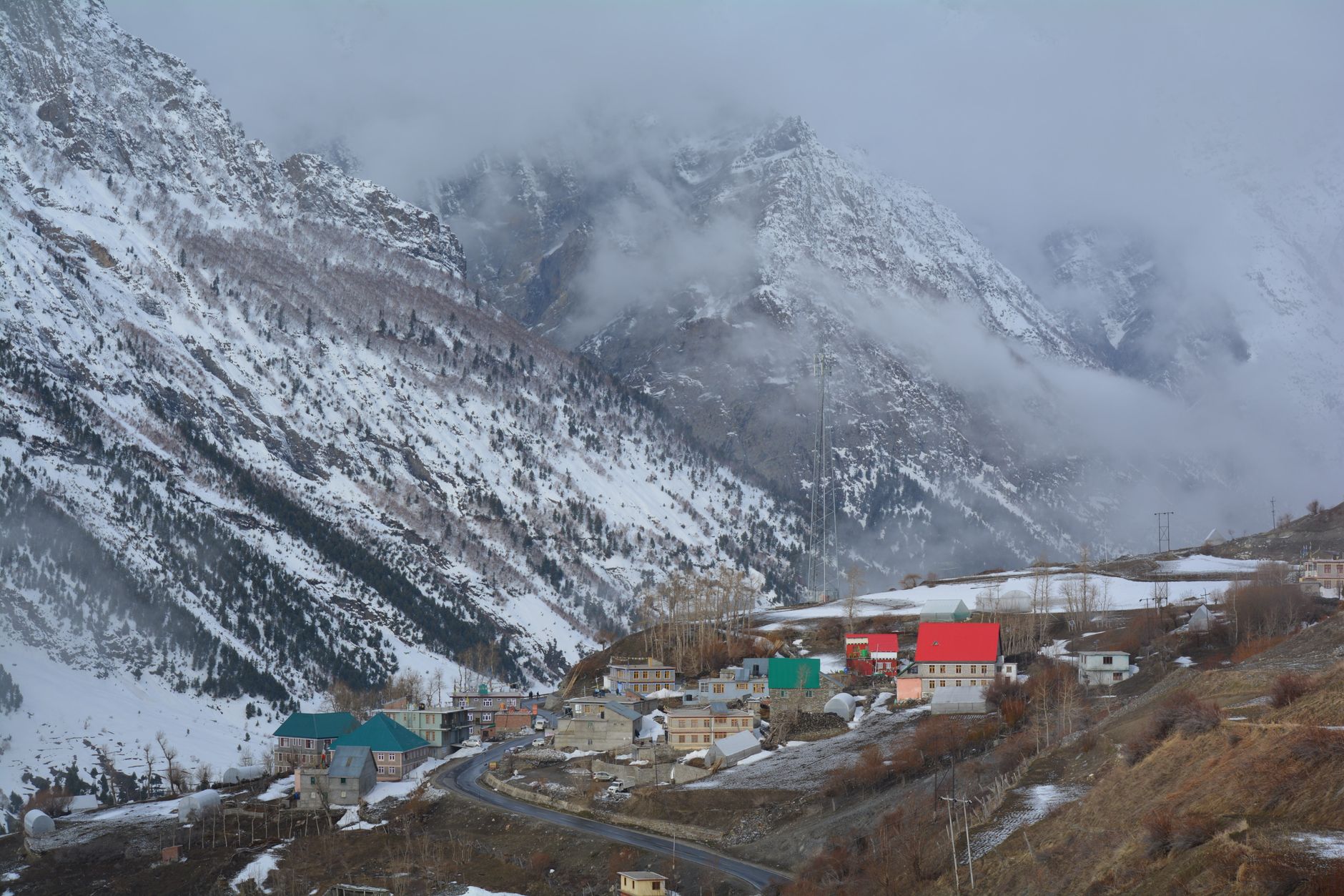
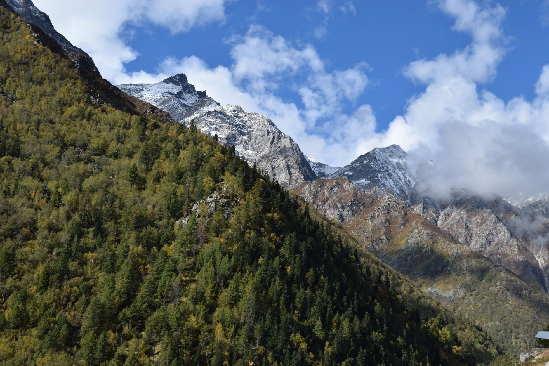
Kinnaur borders Tibet and is one of India's most dramatic districts — where the Satluj, Spiti and Baspa rivers carve gorges thousands of metres deep. Apple, apricot and grape orchards cling to sheer cliffsides. Chitkul is the last inhabited village on the Indo-Tibetan border road. Kalpa offers some of the finest views of Kinnaur Kailash (6,050 m). A permThis place is required for areas beyond Jangi.
Quick Facts

District HQ
Reckong Peo
Area
6401 km²
Altitude
1000–6816 m
Best Season
May–Jun, Sep–Oct
Summer Temp
10–28°C
Winter Temp
-15–8°C
Nearest Airport
Shimla / Chandigarh
From Delhi
535 km

Top Places to Visit (10)

Kalpa

Kalpa

2,960 m
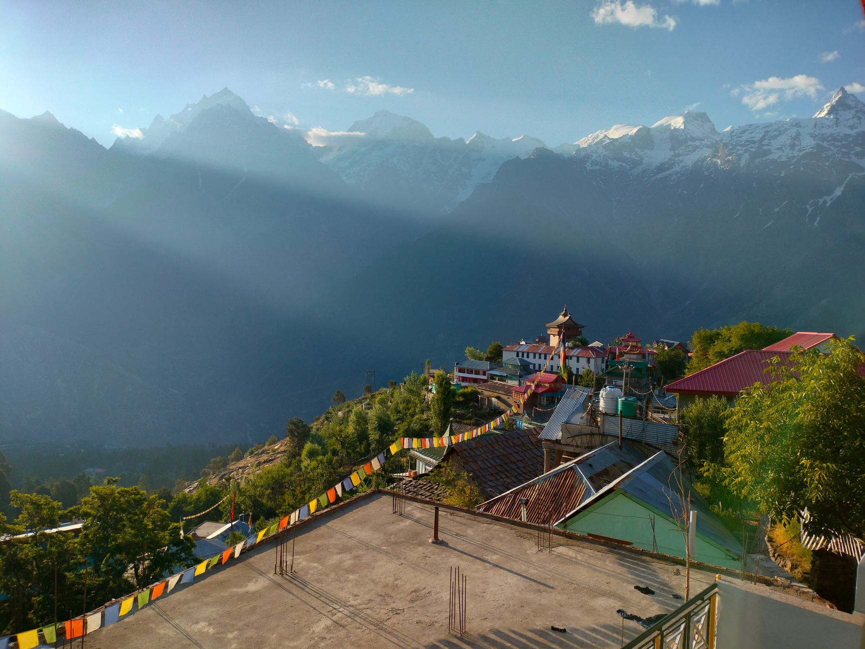
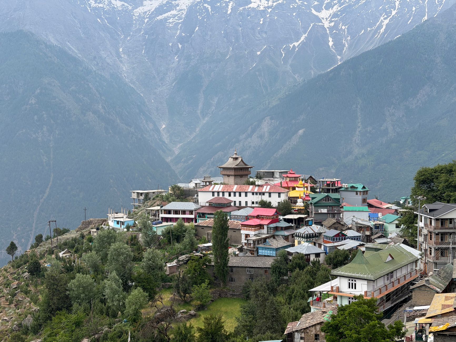
  • Set at 2,960 m on a forested terrace above the Satluj gorge, Kalpa offers what many photographers consider the finest mountain vista in Himachal Pradesh: the six-summited Kinnaur Kailash massif (6,050 m) rising directly behind the village, close enough that the rock changes colour visibly through the day from pre-dawn grey through amber sunrise to the blue-white of full daylight.
  • The village is a tightly packed cluster of traditional three-storey Kinnauri homes with carved wooden windows and prayer-flag lines, interspersed with apricot and apple orchards.
  • The ancient Hu-Bu-Lan-Kar temple complex in the lower village preserves Buddhist and Hindu iconography in the syncretic Kinnauri tradition.
  • Kalpa is best visited October–November during the apple harvest.
Chitkul

Chitkul

3,450 m
  • At 3,450 m on the Baspa river, Chitkul is the last inhabited village on the Indo-Tibetan Border Road — the formal end of the tourist zone before restricted territory begins.
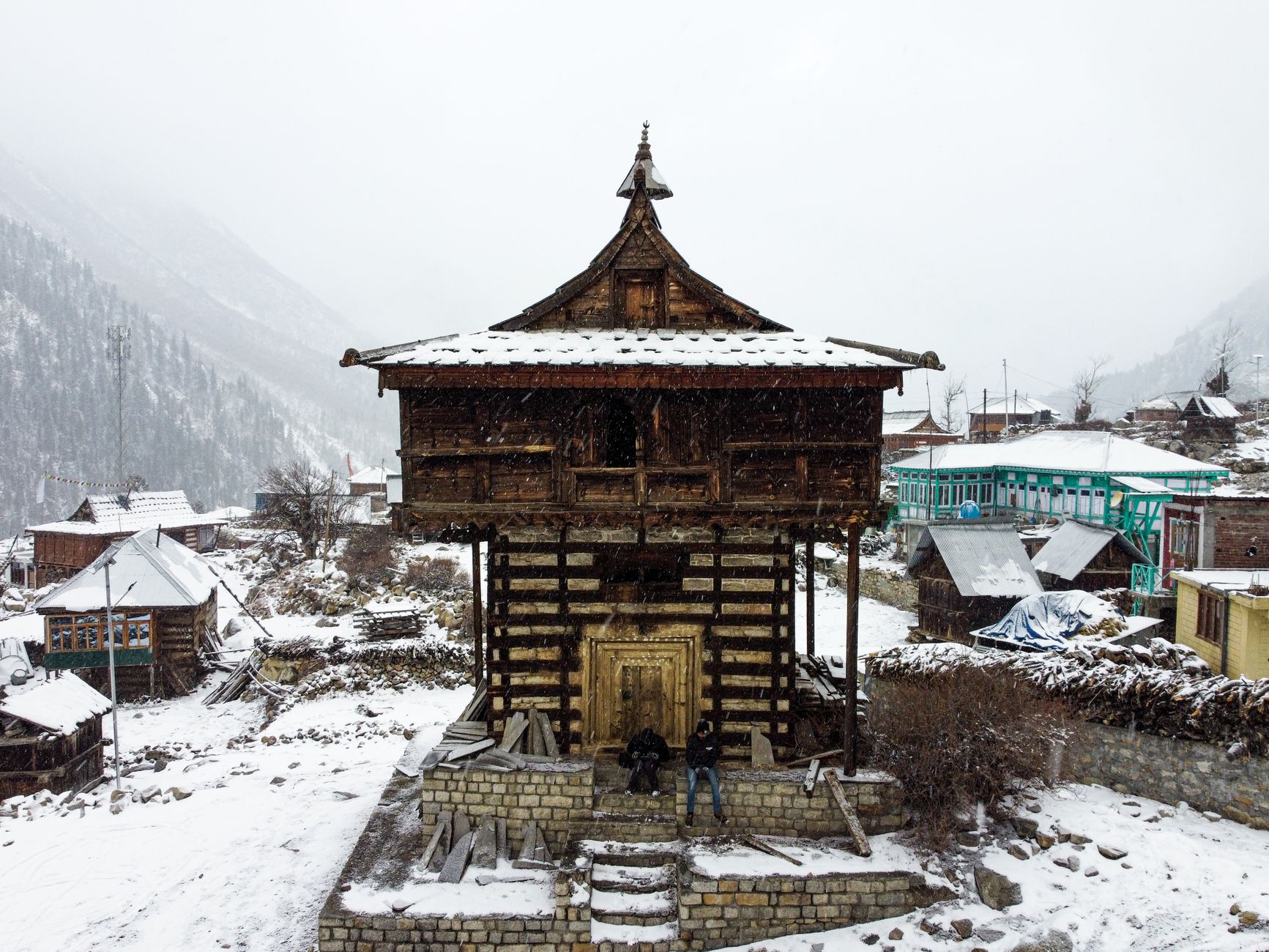
  • The village is exceptionally well preserved: the traditional Kinnauri wooden architecture, the ancient Mathi temple with its silver-plated deity, and the setting against a cirque of glaciated peaks above the valley head create a scene that feels genuinely remote even at peak season.
  • Midsummer brings alpine flowers to the pastures above the village; the upper meadows are accessible on a 3–4 hour walk.
  • Camping is permitted in the flat ground near the river, and basic guesthouses in village homes offer authentic hospitality.
  • The potato fields of Chitkul supply seed potatoes to Punjab.
Sangla Valley

Sangla Valley

2,680 m20 km corridor of orchards
  • The Baspa river valley, accessed from the Hindustan-Tibet Highway at Karcham, ranks among the most scenic sub-valleys in all of Himachal Pradesh — a 20 km corridor of orchards, meadows and traditional villages backed by Himalayan peaks.
  • Sangla village at 2,680 m is the valley's main settlement, with guesthouses, a weekly market, and the distinctive Kamru Fort rising above the rooftops.
  • The valley narrows progressively as it ascends to Chitkul, with the Baspa running green and fast alongside the road.
  • Apple, apricot and walnut orchards line the valley floor; in autumn (September–October) the combined colour of ripening fruit and turning deciduous trees makes the Sangla valley arguably the most photogenic landscape in Kinnaur.
Reckong Peo

Reckong Peo

2,670 m7 km) ranks among the most dramatic short drives in Himachal
  • The district headquarters of Kinnaur at 2,670 m, Reckong Peo is the administrative centre where Inner Line Permits for restricted areas are issued, making it an essential stop for travellers heading to Hangrang Valley, Nako, or Puh.
  • The town is a grid of government offices, a busy bazaar and a large Buddhist monastery with views across the Satluj gorge to the Kinnaur Kailash range.
  • The weekly market (Thursday) is a cultural hub drawing traders from remote villages.
  • The Kothi apple orchards below town are among the finest in the district.
  • The road north from Reckong Peo to Kalpa (7 km) ranks among the most dramatic short drives in Himachal, hugging a cliff face above a 1,500 m gorge.
Kamru Fort

Kamru Fort

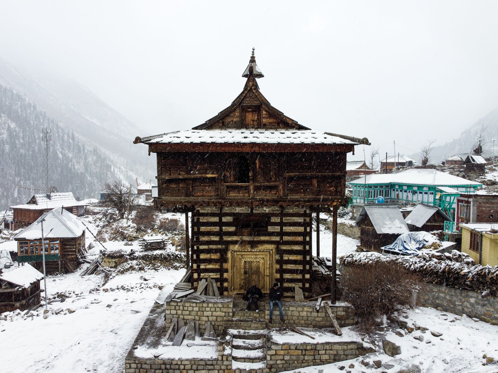
  • Rising on a rocky spur directly above Sangla village, the Kamru Fort is a 7-storey wooden and stone tower — the former seat of the Bushahr kings before they moved to Rampur.
  • Each storey is progressively smaller, creating a pagoda-like silhouette that is the defining image of the Sangla valley.
  • Inside, the fort houses the Kamakhya Devi temple with a silver-faced goddess idol of considerable antiquity; non-Hindus must leave footwear and leather at the gate.
  • The climb to the fort through the old village lanes passes traditional Kinnauri homes with carved wooden balconies.
  • The view from the fort roof over the orchard valley to the snow peaks beyond is exceptional on clear October mornings.
Nako

Nako

3,662 m
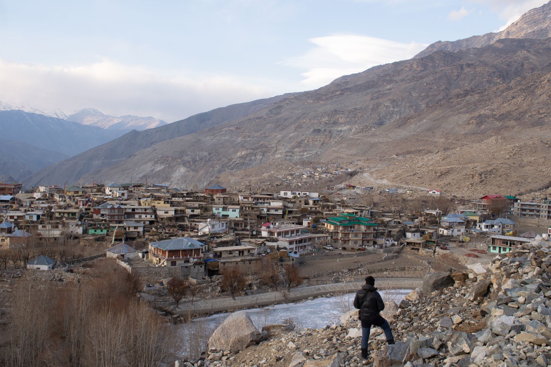
  • High above the Satluj gorge at 3,662 m, Nako is a cluster of whitewashed homes around a sacred Buddhist lake — among the most atmospherically situated villages in the district.
  • The Nako monastery complex, dating to the 10th century, contains some of the oldest surviving Buddhist murals in the Kinnaur-Spiti corridor.
  • The sacred lake, around which locals walk in circumambulation (parikrama), mirrors the sky with perfect clarity at dawn, and freezes solid enough in winter for locals to walk and skate across it.
  • A smaller, less-visited counterpart, Sorong Lake, lies elsewhere in Kinnaur district for travellers who want to see more of the region's high-altitude lakes.
  • The surrounding landscape is characteristic of the rain-shadow Kinnaur — arid brown hills streaked with mineral colour, in sharp contrast to the green terraced fields irrigated from the village spring.
  • Nako sits on the old trade route to Tibet and retains a strong Tibetan cultural character.
Tabo

Tabo

3,050 m
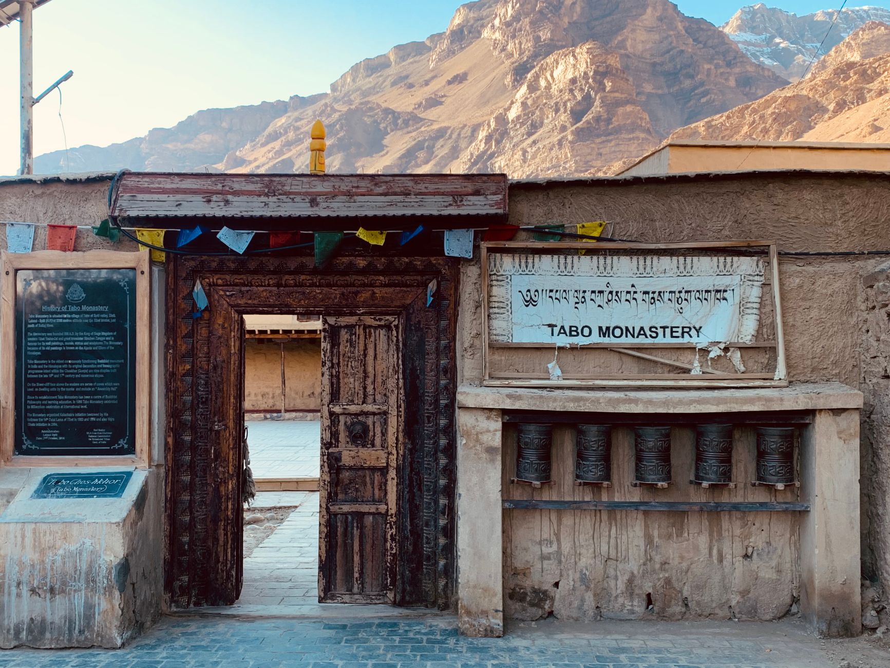
  • Shared between Kinnaur and Spiti sub-divisions, Tabo's monastery complex founded in 996 CE by the great translator Rinchen Zangpo is the crown jewel of Buddhist heritage in the western Himalayas.
  • The nine temples of the 'Ajanta of the Himalayas' contain clay sculptures and fresco cycles of extraordinary refinement, depicting Buddhas, bodhisattvas and mandalas in the Kashmiri style that influenced Buddhist art across the Himalayan region.
  • The village at 3,050 m is warmer and more sheltered than Kaza, and the apple orchards and poplar groves around it are productive.
  • Two caves in the cliff above the monastery were used by meditating monks over many generations; one is still occasionally occupied.
  • The annual Tabo festival (June) draws monks from across the Tibetan Buddhist world.

Chhitkul Meadows

4,200 m
  • Above the last village of Chitkul, a system of broad alpine meadows stretches toward the glacier at the valley head — an expanse of high-altitude grassland that in June and July erupts in wildflowers including Himalayan blue poppy, primula, edelweiss and dozens of species of alpine herbs used in traditional Kinnauri medicine.
  • The Baspa glacier, retreating but still impressive, can be reached on a 4–5 hour round walk from the village on a clear trail.
  • Shepherds from lower Kinnaur bring their flocks to these pastures from June to September; their temporary shelters (dhoondis) are visible across the meadow.
  • The upper meadow at approximately 4,200 m offers unobstructed views of the surrounding peaks and the Tibetan plateau beyond.

Hangrang Valley

2,300 m
  • The innermost sub-division of Kinnaur, Hangrang (also spelled Hangrang) is a restricted zone requiring an Inner Line Permit — a requirement that has preserved its extraordinary cultural and landscape integrity.
  • The valley, draining to the Satluj near Puh at 2,300 m, contains the ancient villages of Nako, Chango, Sumdo and Khab — each with its own monastery, dialect variation and traditional textile tradition.
  • The Khab confluence, where the Spiti river meets the Satluj, ranks among the most dramatic landscape moments in the Indian Himalaya: two rivers of entirely different colour joining in a gorge of near-vertical rock walls.
  • The region sees fewer than 5,000 visitors annually, making it among the most genuinely remote accessible valleys in India.

Lippa-Asrang Sanctuary

  • This 30 sq km wildlife sanctuary on the mid-elevation slopes of the Kinnaur district protects a transitional forest zone between the sub-alpine oak-conifer belt and the high-altitude scrub — a habitat that supports snow leopard, Himalayan black bear, musk deer and the koklass pheasant.
  • The sanctuary is not set up for formal wildlife tourism and has no visitor facilities, but local naturalists in Sangla can arrange guided walks on the sanctuary margins in spring and autumn.
  • The Lippa village on the sanctuary edge is noted for its production of Kinnauri shawls — handwoven wool and pashmina textiles with the distinctive geometric border pattern.
  • The forest is particularly scenic in October when the broad-leafed trees turn amber and red against the dark conifers.

Local Food & Cuisine

Kinnauri Dham (feast)ChhangChilta (rice pancake)BabruDry Fruits (walnuts, apricots)

Famous For

Apple & Apricot OrchardsKinnaur KailashChitkul (last village)Sangla Valley

Plan Your Kinnaur Trip

Talk to our local experts. Best packages, handpicked hotels, private cabs.

WhatsApp Us — Free Itinerary

Kinnaur Travel Guide: Places to Visit, Routes & Itinerary

Planning a trip to Kinnaur in Himachal Pradesh? Use this guide to discover tourist places, practical routes, sightseeing ideas and itinerary options. Himachal Explorer connects destination information with road-route planning so you can compare places and build a realistic day-wise trip.

For visitors searching for kinnaur valley tourist places, kalpa, sangla and chitkul travel guide, this page brings together the key locations and travel-planning information in one place. You can also explore the Himachal tourist places map, compare Himachal tour packages, or use the Himachal trip planner to create a custom route.